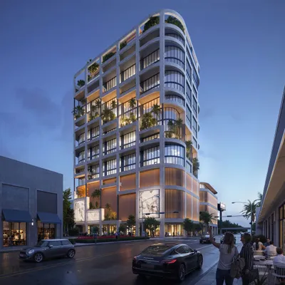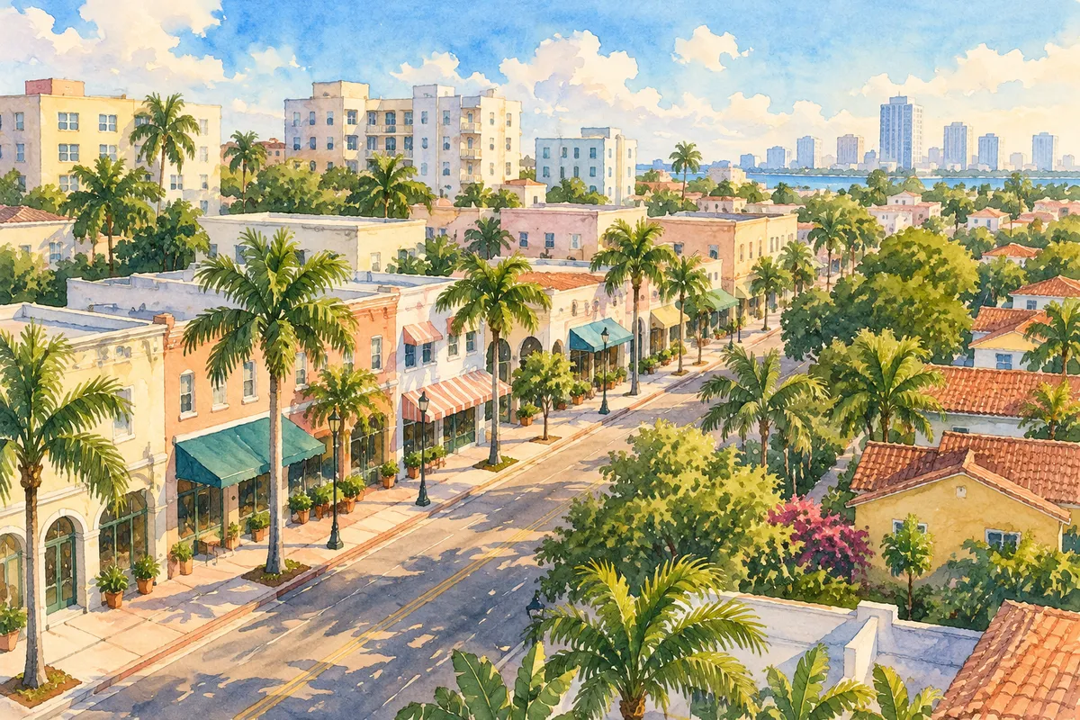
Miami took a first step Thursday toward allowing more homes and businesses across a wide stretch of Little Havana. City commissioners gave preliminary approval Oct. 22 to a change in the city's future land use map, The Real Deal reported.
The future land use map sets the big-picture limits for each lot: what kinds of uses are allowed and how many homes can fit on an acre. Zoning then sets details such as building height.
Where the changes are
The ordinance on the agenda covers about 72 acres. The main areas are:
- Lots facing Southwest 7th Street between Interstate 95 and Southwest 12th Avenue.
- Lots facing Southwest 7th Street between Southwest 17th and 22nd avenues.
- Blocks between Southwest 4th Avenue, I-95, Southwest 6th Street, Southwest 5th Avenue and Southwest 1st Street.
- Lots along Southwest 8th Avenue between Southwest 1st and 6th streets.
- The north side of Southwest 9th Street between Southwest 8th and 12th avenues.
- Smaller pieces near the river along North River Drive and South River Drive.
What would change on paper
- Lots now set aside for medium-density apartments would become restricted commercial. That raises the limit from 65 to 150 homes per acre and adds office and commercial uses.
- Lots already allowing a mix of uses at 65 or 36 homes per acre would also move to restricted commercial, at up to 150 homes per acre.
- Lots on the north side of Southwest 9th Street would go from low-density to medium-density apartments, from 36 to 65 homes per acre.
The city manager applied for the change on the city's behalf. The Planning, Zoning and Appeals Board recommended it 7-3 on Sept. 2. The ordinance says the change supports the city's goals for affordable, workforce and mixed-income housing through city and state programs.
The rezoning is on hold
A companion rezoning was on the same agenda. It would have changed the zoning on about 661 parcels covering about 136 acres, according to the city's agenda item. Some blocks would have moved up from T4 to T5 zoning, and others from T5 to T6-8, which allows taller buildings. The planning board had recommended it with changes, also by a 7-3 vote.
Commissioners deferred that rezoning indefinitely, The Real Deal reported. The rezoning is the piece that would change the zoning category on each lot.
What happens next
After this first vote, the city's planning department is directed to send the land-use change to state and other review agencies. It then needs a second vote by the commission. If adopted, it takes effect 31 days after the state planning agency says the city's package is complete.
Calle Ocho itself, Southwest 8th Street, is lined with restaurants, banks and grocers, while the streets around it are mostly small apartment buildings, condos and single-family homes. Owners who want to know whether their lot is included can check the addresses listed in the agenda item.
Nearby, a Calle Ocho car dealer is separately seeking 12-story zoning for its lot. For how a Nov. 3 ballot measure could change homestead exemptions, see our Amendment 3 explainer.
Buying or selling in Little Havana? The Miami Lookout is founded by Joe Biscaha, a Miami real estate advisor with Compass.